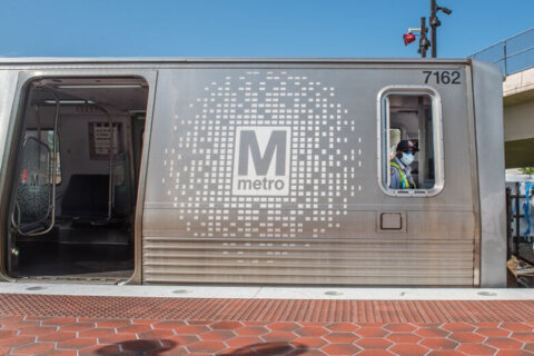
WTOP: Metro realizes navigating its trains, platforms, and stations can be confusing — the D.C. transit agency is set to begin testing new user-friendly signage, to help riders know where they are and where they’re going.
By Thursday, a six-month pilot program will at begin L’Enfant Plaza, utilizing new signs that aim to make it easier for customers to pinpoint where they are, even if standing in an underground station, in a system where all of the stations look similar.
The confusion isn’t just for tourists or visitors — even regular riders periodically get turned around.
According to Metro, 39% of registered SmartTrip customers say they took the wrong rail station exit in the past year. And in the same period, 23% of SmartTrip riders say they boarded a train in the wrong direction.
Metro said historically its signage has been siloed — with bus and rail line information separated. Now, the goal is to provide guidance for riders to transfer from rail to bus service, and vice versa.
When entering a Metrorail station, and getting to a platform, current signs list the name of the station, the lines that will arrive at the platform and identify final stop on the line.
Metro says a final stop listed as “Greenbelt,” for instance, requires a user — especially a tourist — to know that Greenbelt is located northeast of D.C.
In its new trackside signage, instead of final destinations, signs will provide cardinal travel direction that trains will travel from that platform — north, south, east or west.
For riders who arrive at a station, and try to figure out how to transfer to another line, new signs will provide more specificity. A pilot sign at L’Enfant Plaza would indicate regional connections, for instance, where to board VRE trains, or how to reach Reagan National Airport.
Passengers who reach a stop are often confounded by station exit signs. Each exit at a stop is now designated A, B, C or D — signs pointing the way out of stations correspond to the pylon outside the station, making it easier to plan a route ahead of time, or make decisions on the fly.
On platforms, and real-time digital screens the ubiquitous color-coded map showing lines crisscrossing the system will be less prominent, in favor of ‘next station’ lists, which indicate the direction the train will travel, and the transfer points at each stop.
Metro said it’s beta testing MetroPulse, to provide a mobile app with real-time customer service interactions in 2024, as well as real-time MetroAccess vehicle tracking.